
Radials of Fire - Part One
The pilgrimage to Krakatoa begins near an even more monstrous volcano.

Sumatra, Indonesia. The sixth-largest island on the planet, and home to not only delicious coffee, but some ferocious volcanoes as well! The Barisan Mountains cover the entire western side of the island and have 35 active volcanoes, in a convenient path that leads to their most famous cousin, Krakatoa. We’re all familiar with the massive 1883 eruption, and I figured checking it out would make a great ending to a long sightseeing trip of similar volcanoes. But we’ll get there soon enough!
We begin in Medan, the largest city on the island, and head out into the mountains. Almost right away we pass by Mount Sinabung and you can really get a feel for the scale of it with the two towns next to it in the second picture. Sinabung erupted as recently as two years ago and you can just barely see the remnants of that on the right slope! As imposing as it is though, it’s got nothing on its neighbour.


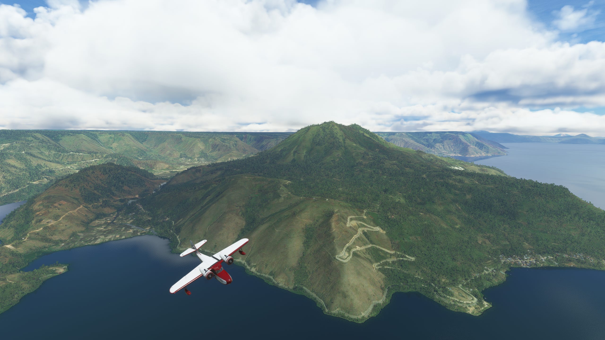
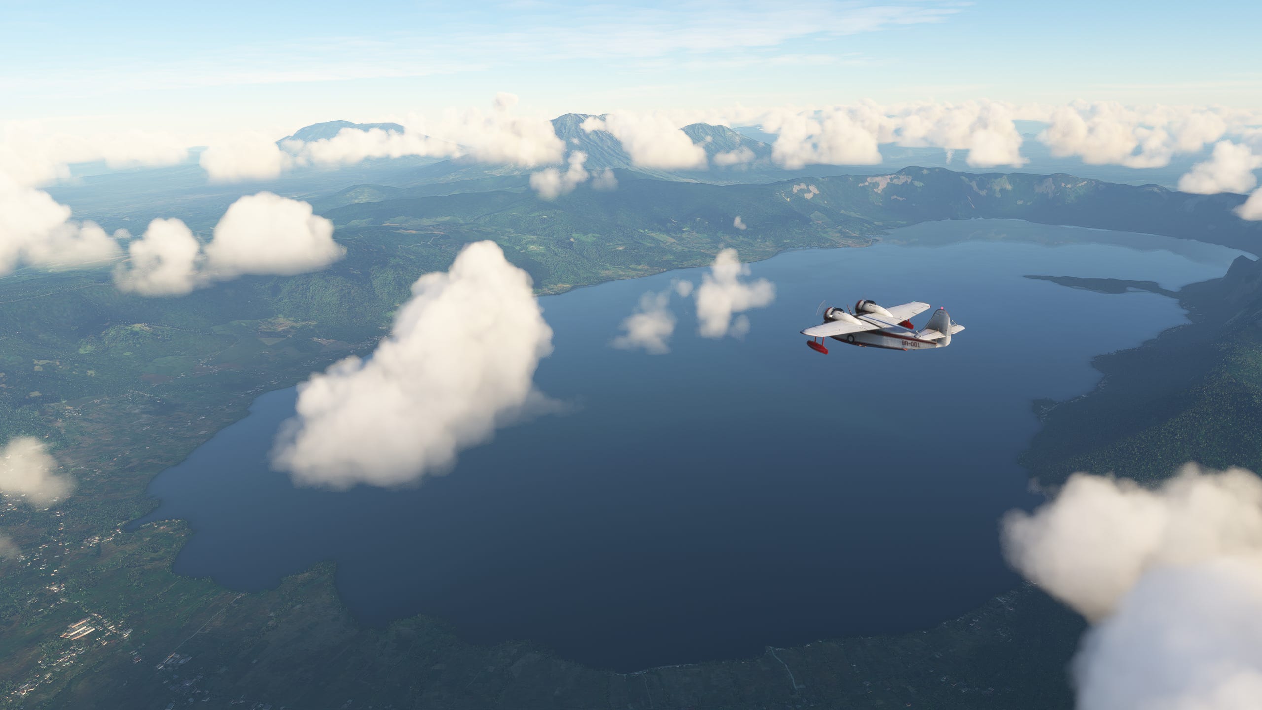
It would be easy to think the huge peak in the picture above is the cataclysmic supervolcano that may have threatened Humanity’s very existence some 74000 years ago. It’s even a sacred mountain, and we as a species have never really had a healthy relationship with our deities. But in fact the entire lake is the massive caldera of the largest known eruption ever, on the whole-ass Earth. The pictures barely do it justice - the landmass on the left of the fourth picture is an island in that lake, (it even has a lake on that island, making it a lake on an island in a lake, on an island…what are we talking about again?) the whole landscape around you is simply The Volcano. It’s completely insane to me that a city would be on the inside of this thing’s caldera, it’s as if you had an old gun stowed away and a spider made a nest inside the barrel because it was “pretty sure” there weren’t any bullets left in the gun.
At least the view’s better here.


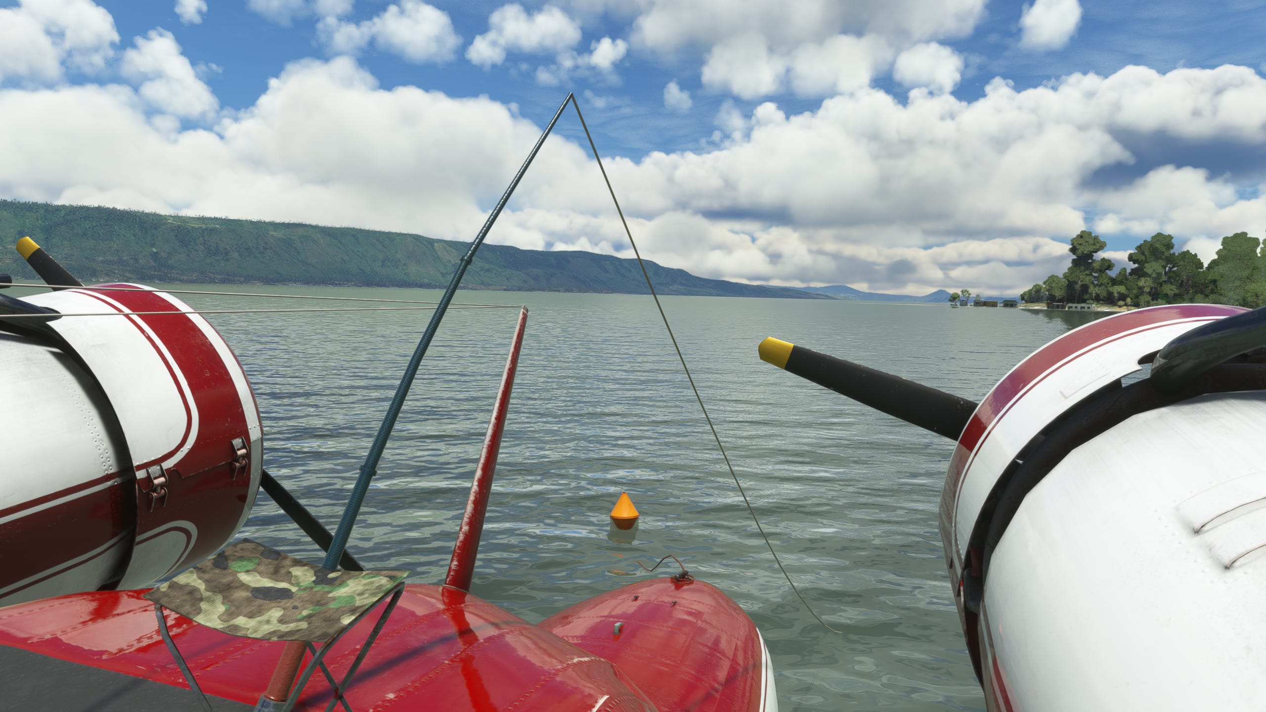
There’s something about flying over what is essentially a giant scab of an incredibly old wound on the Planet Itself that makes you want to take a break and just take it all in for a second. There’s a small lakeside town called Parapat with a great view of Samosir island so I put the Goose down in the small bay and took a minute to relax with the fishing gear stowed onboard.
I didn’t catch shit, this really is a good sim.
Our next stop would be Padang, a large city on Sumatra’s west coast. A journey of about two hours through a wide volcanic valley with a few interesting peaks scattered through it. With a few hours of sun left, we set off.
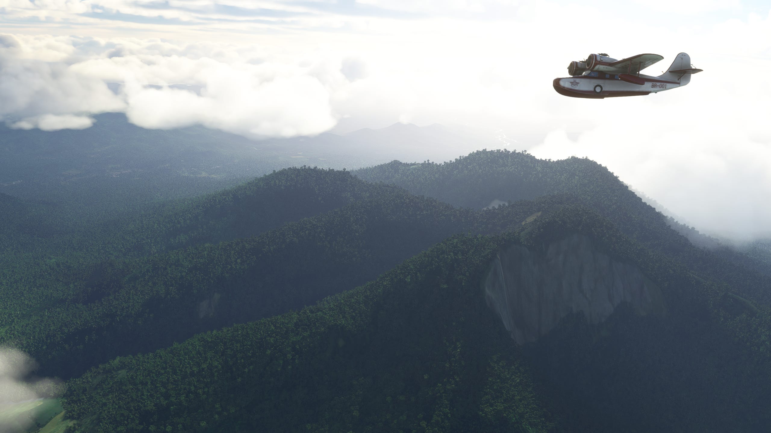
This corridor was a great flight in the Goose, with a new peak appearing just as the last would pass you by, giving you just the right amount of time to appreciate it before giving you a new one to check out.


I think piloting a literal flying boat simply compels you to fly over the nearest available body of water. Considering we were making good time and fuel economy (I’m too lazy to cheat….mostly) it was a good moment for a quick detour to get a bit closer to Mount Marapi, and with the sun starting to give everything a nice warm tone I had to get a couple glamour shots of the Goose as well!


Padang lay just down the coast, and as if on cue the light held out until just after I’d landed and flew the drone camera out for a couple shots of the city and coastline. The Indian Ocean even graciously reflected the clouds as the sun set to add to the scene’s beauty!


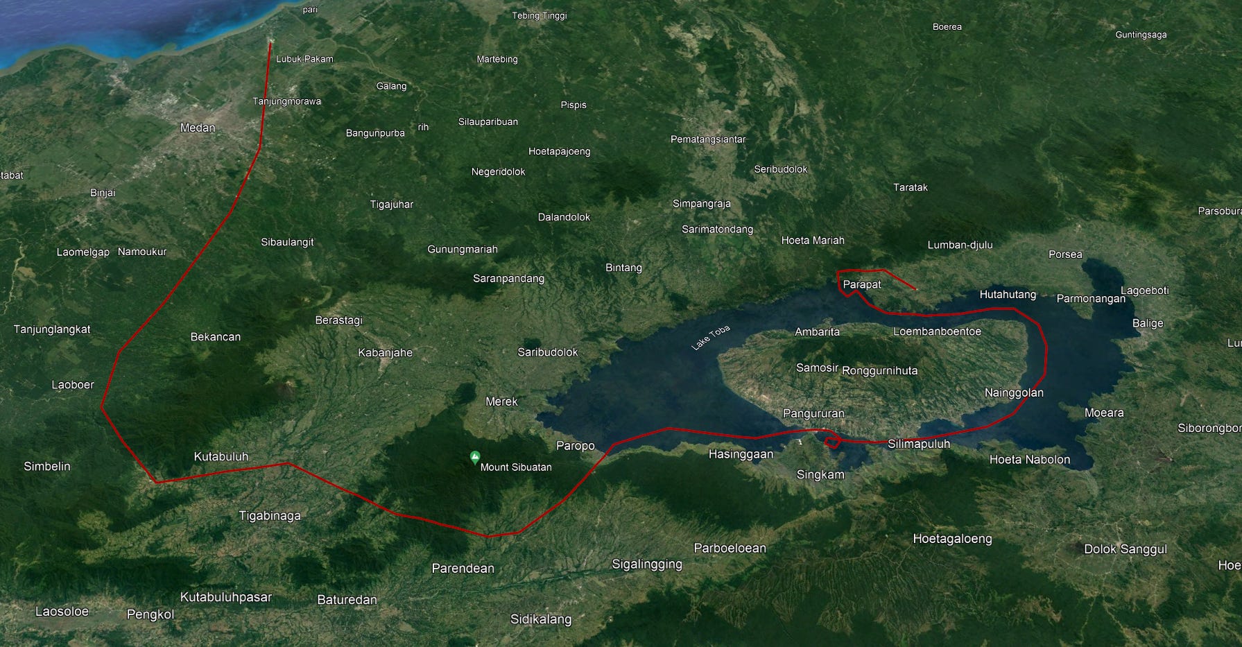
That’s it for part one! The plane needs to be refueled and frankly, I’m tired. We’ve covered about half the island’s length, and I’ve more-or-less recreated the flight path to give you a better idea of exactly where this all took place, or if you want to take the same route! Thanks for reading this far and stay tuned for part two!


-Shapelychops
