
Radials of Fire - Part Two
Splashing down in another volcanic lake, and reaching Krakatoa just in time for a gorgeous sunset in the finale of Radials of Fire.

Radials of Fire Part One can be found here:

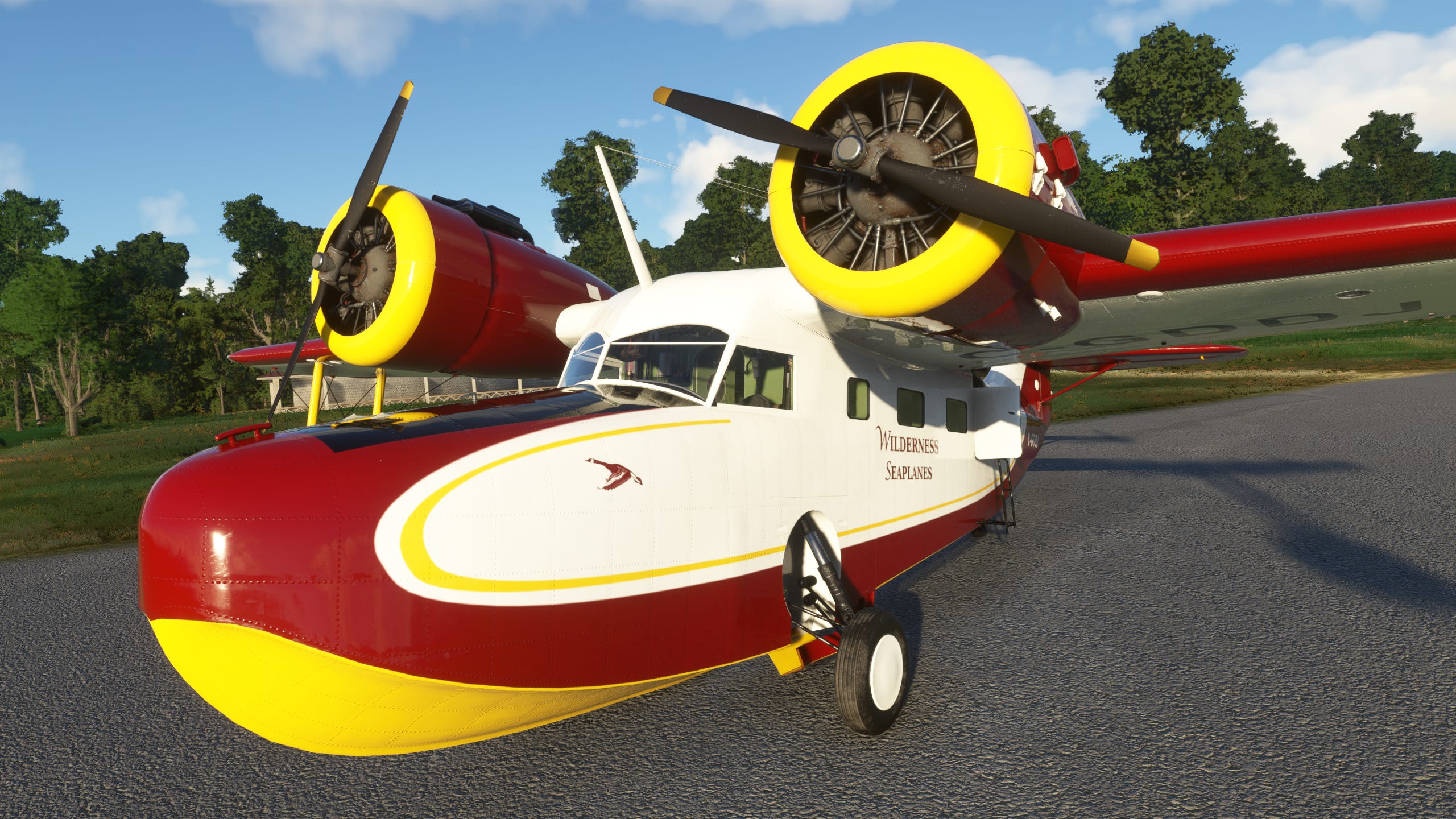
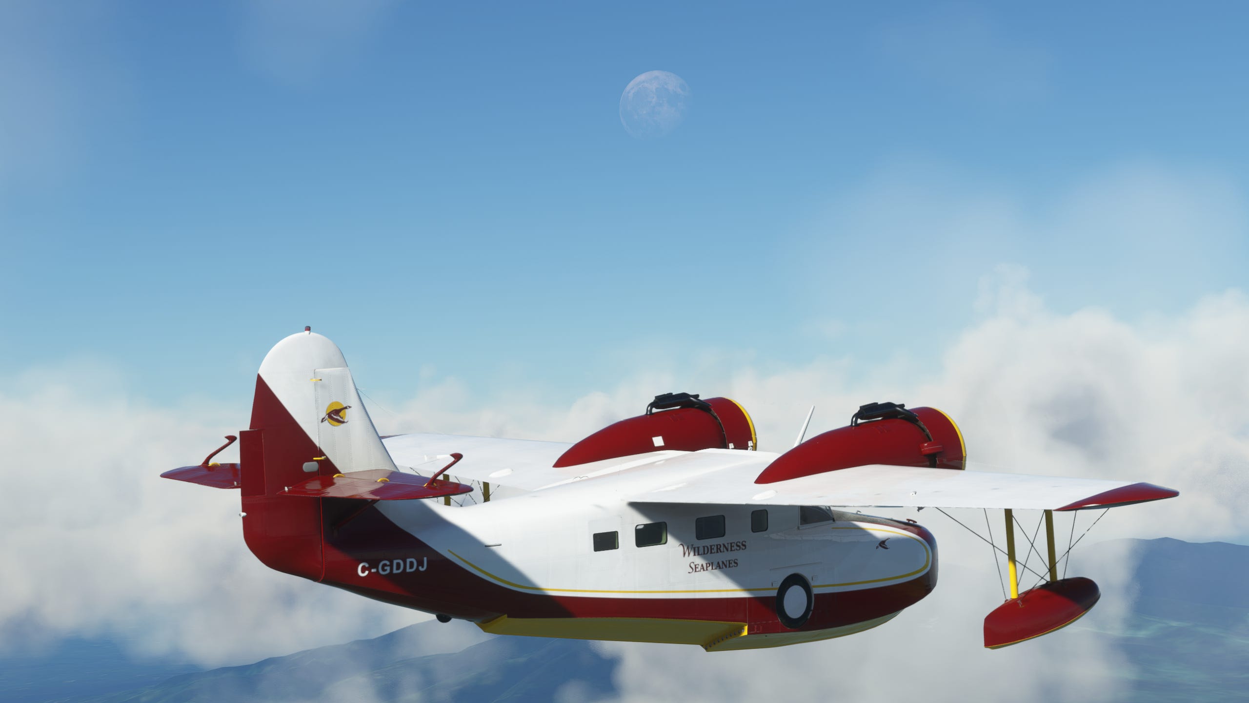
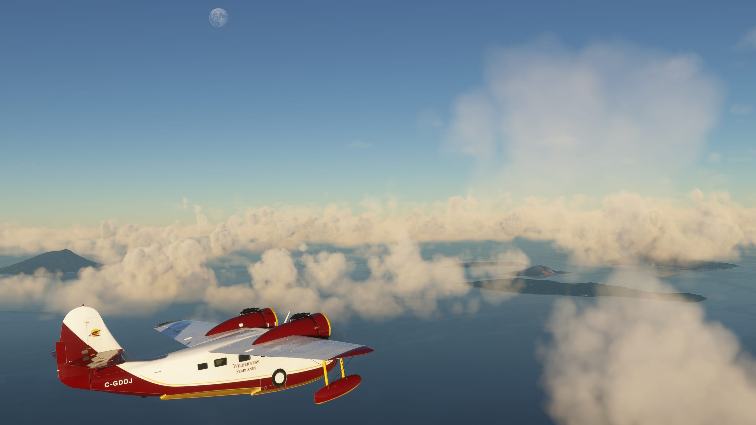
Padang had treated us well for the last few days, or at least it would have if we were actually there. The Goose got a slick new paintjob, (read: I found the website to download community-made aircraft liveries) we were fully fueled up, and it was time to see some more volcanoes, baby! With just the right amount of clouds in the sky, we set off to the south-east, again following the Barisan Mountains towards the highest peak in the mountain chain, Mt. Kerinci.
And uh, yeah. It’s big. You can see that bad boy looming over the horizon for most of the flight over, just silently and inexorably getting bigger even while our own altitude grew to ~9000 feet. That’s only about 3/4 of the way to the summit! Also, like Mount Sinabung from part one, Mount Kerinci is an active volcano with eruptions happening as recently as February 2023, so we definitely wouldn’t be able to get anywhere near as close as we did.


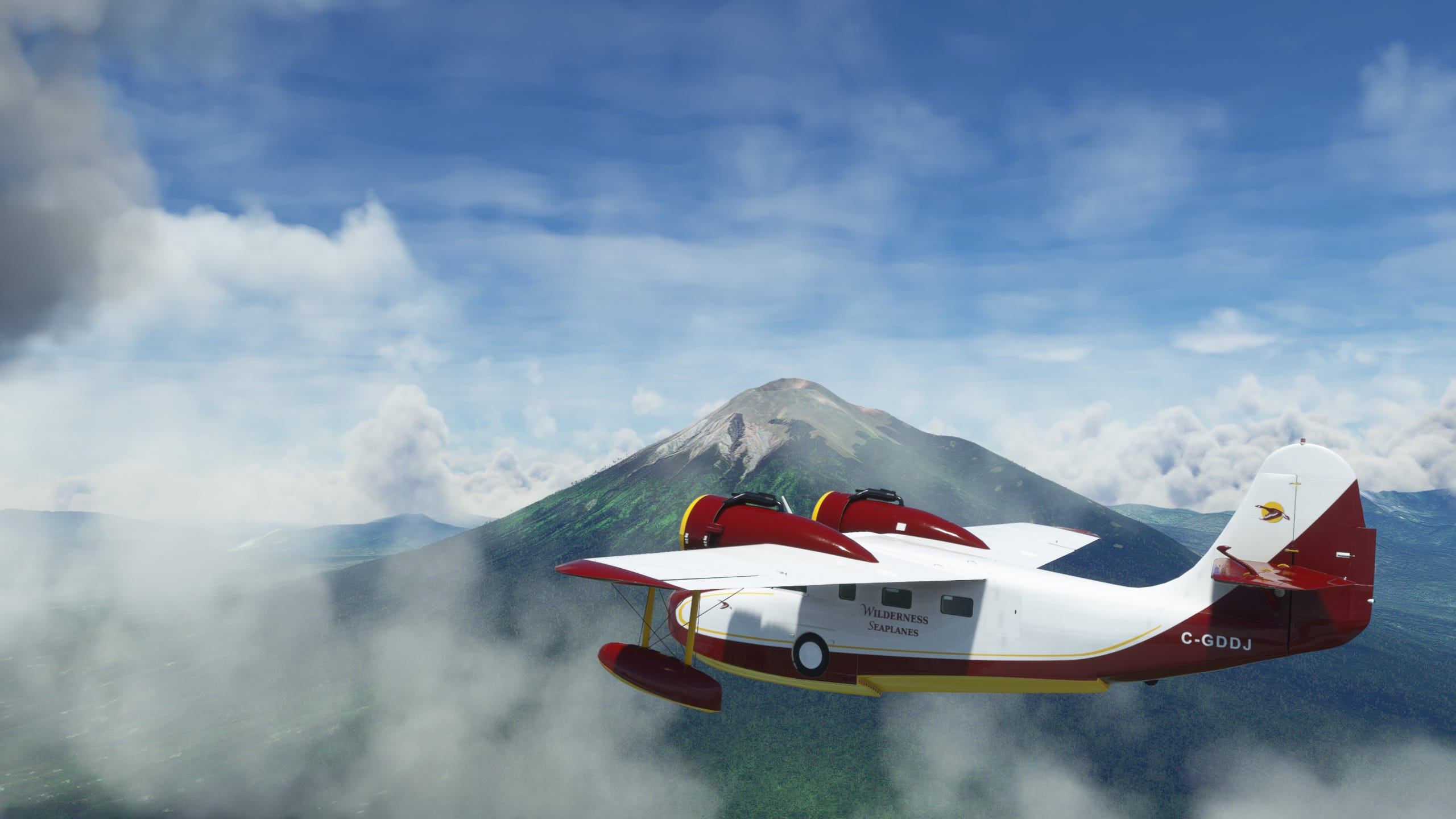
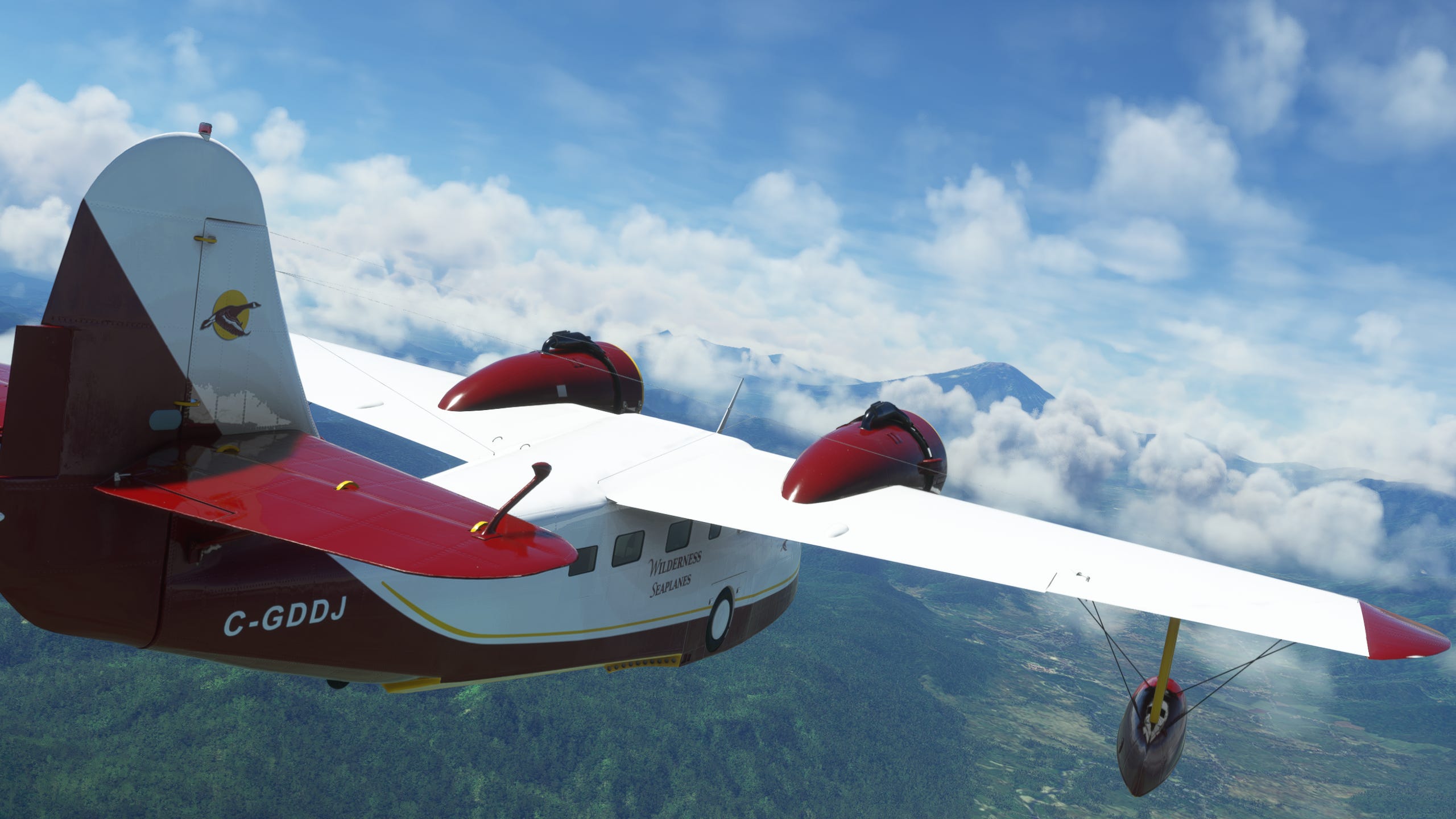
Catching a glimpse of the crater while passing by was pretty cool, since I wasn’t sure we’d be high enough to see into it. But as we flew past, something else nearby caught my eye on the port side, (since the Goose is technically a flying boat I get to be a Fancy Boy and use nautical terms) another volcanic lake! Naturally I couldn’t resist and took the Goose in for a closer look.
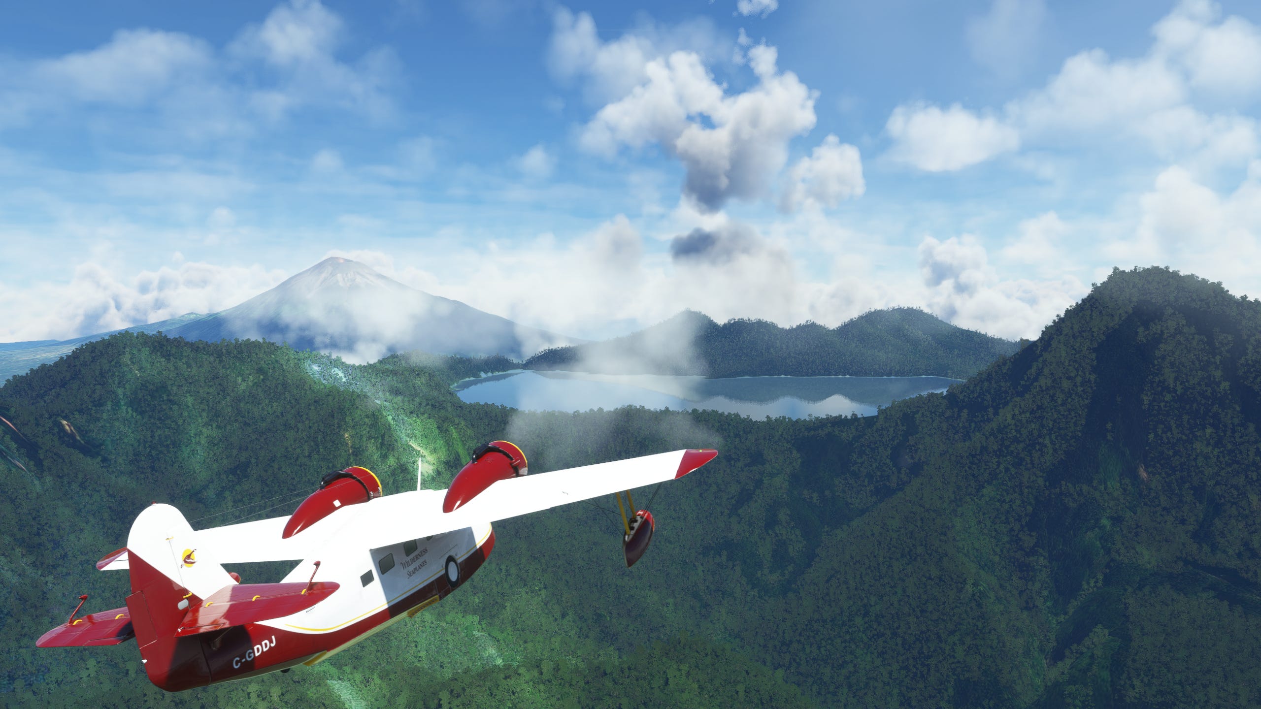


If I didn’t know better (debatable) I’d say this lake was tailor-made to be the perfect spot to check out Mount Kerinci. It’s the highest caldera lake in Southeast Asia so you really can’t get a cleaner vantage point of a neighbouring volcano. And of course the seven peaks frame everything perfectly. There’s even a little dip between two ridges that gave us both a great viewing window of the volcano, and a handy escape route (crashing into the hills after takeoff is not the ideal way to end such a beautiful expedition).
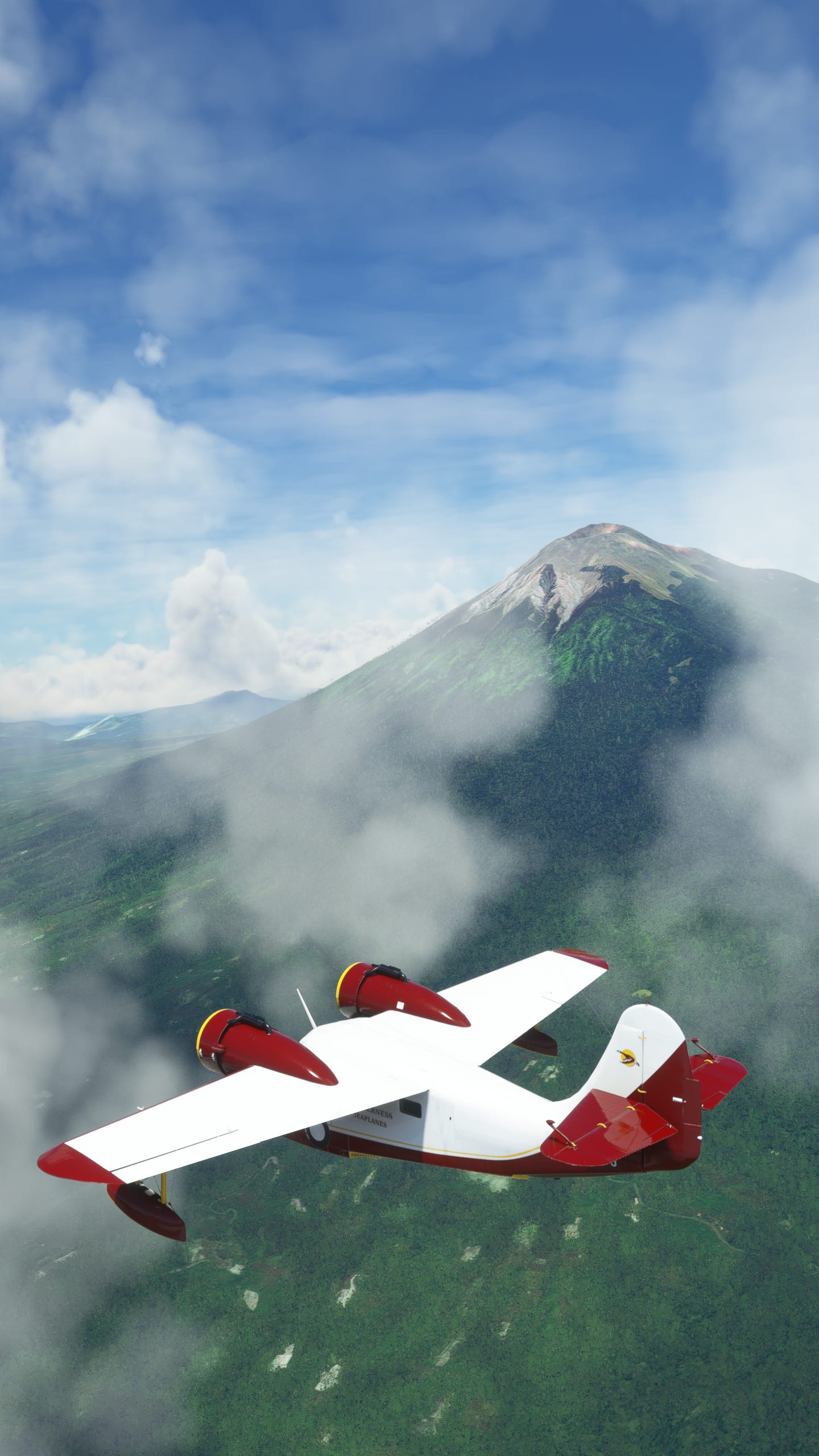
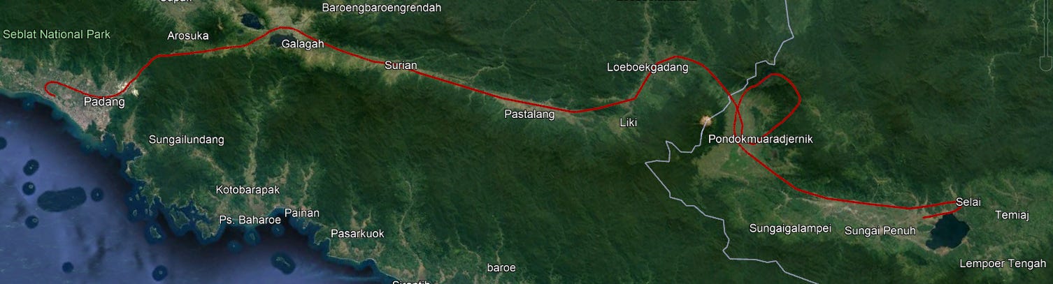
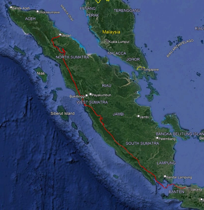
That small opening in the ridge was juust enough for us to get out safely (“safely”) and Mount Kerinci gave us another great view as we departed. Our next stop was coming up, a small airport near Lake Kerinci, though it’s not particularly close to the mountain? Who knows. Here’s the current leg of the trip, you can see mount Kerinci as the big beige spot near the town of “Pondokmuaradjernik”. I have to say, that name piqued my curiosity so I put it through some translators and it just made things worse. It seems to mean “estuary hut” or if you want to be as poetic as it is in Indonesian, “House where the river meets the sea” which seems like it could be a nice place to live. The problem is it’s nearly 50km from the sea, with a whole-ass mountain range in the way! Oof. Maybe I’ll stick to the geography facts…
Before we move on, I was doing some research and noticed a picture on a site to book a climb to Seven Mountain Lake that looked pretty familiar. So if you’re wondering how close my pictures are to the real thing, well, take a look for yourself!


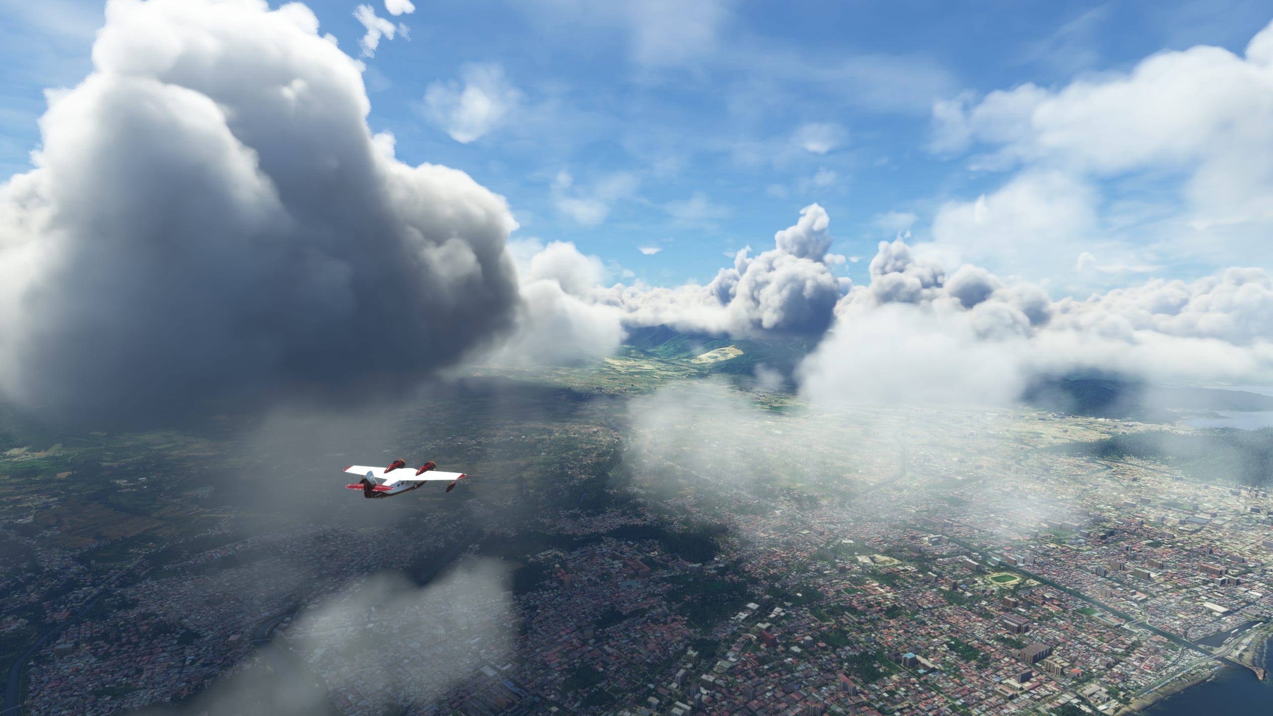
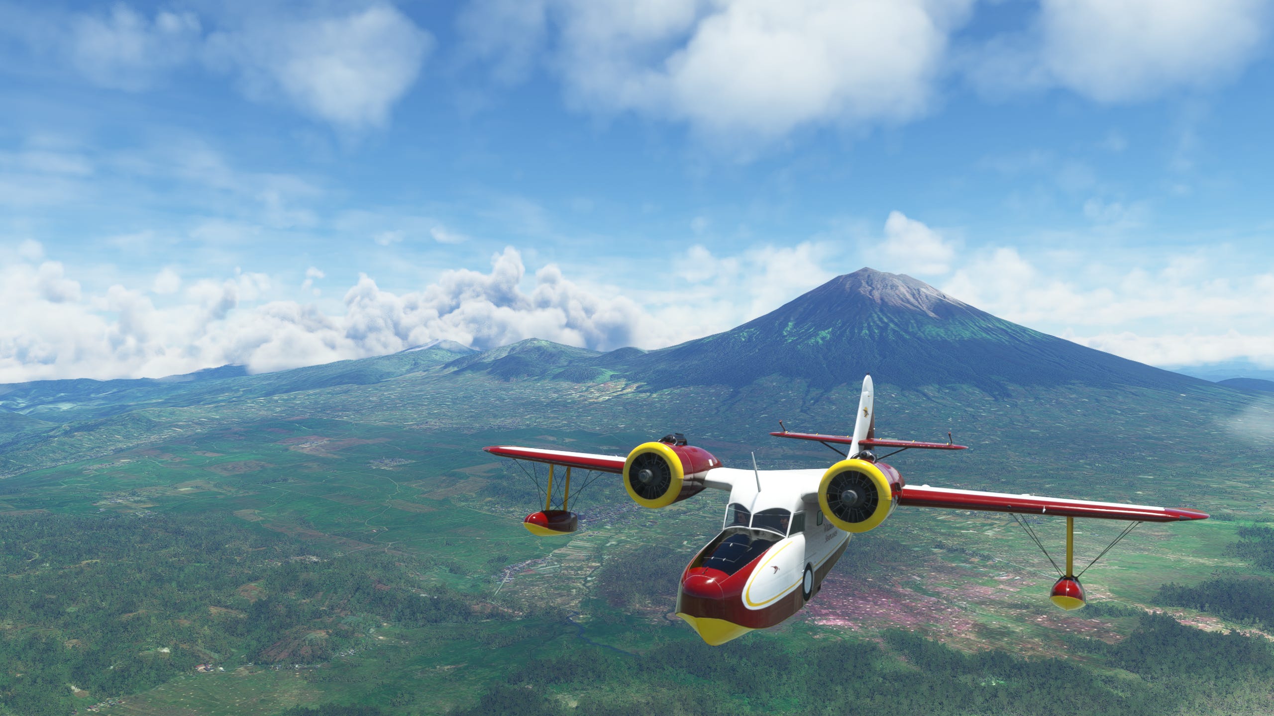
We took off and got back on track for the final third of the island, and with only a couple notable peaks in between us and Krakatoa, we set out for Mount Dempo, the last prominent peak of the island. That’s essentially how I determined my route through the Barisan Mountains, just fly along the row of mountains until one catches my eye, then get in a little closer to snap a couple pics! Who says navigating a place you’ve never visited before is hard?


Mount Dempo definitely fit the bill for eye-catching with its huge size and remarkable crater. It’s the second-highest volcano on the island after Mount Kerinci and even has a 400-metre lake in the crater, which is actually a complex of seven craters! You can sort of see it over the crater’s lip, looking like it’s frozen over. At a bit over 10,000 feet, it’s probably a little chilly up there. Unfortunately that’s a little too small (and frozen) to land the Goose, and with the end of the journey so close at hand, we moved on.


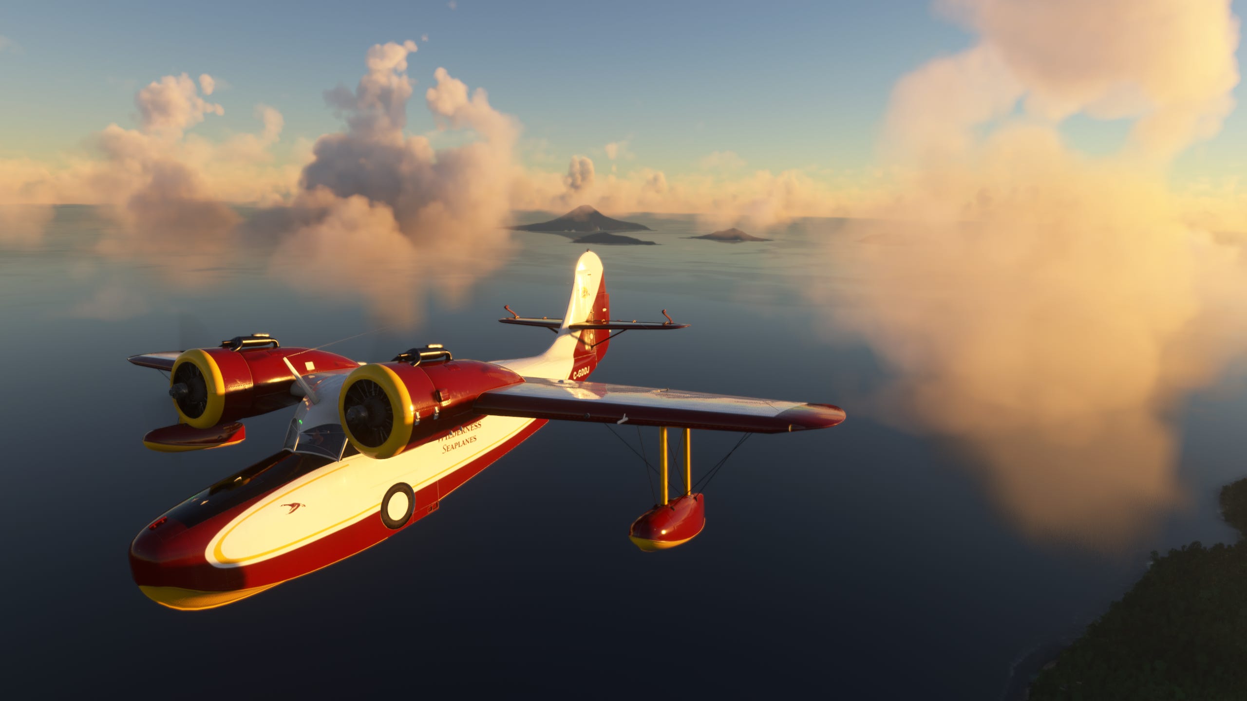
Finally, the waters of the Sunda Strait came into view. Halfway from Sumatra to Java lies Krakatoa, and as we got within sight of the archipelago, the Sun had gotten just low enough to give everything a nice glow that only intensified as we got closer.
Admittedly, I was a bit surprised with how tame it looked, especially after the majestic vistas of Mount Kerinci or the craters of Mount Dempo. Lake Toba even had all those extra peaks around the edges, showing just how much destruction had been hiding under the earth. But then it hit me; this was much like Lake Toba in the sense that this was simply what was left over after an immense eruption that literally exploded the entire island! In fact, the far, tallest island (Rakata) is essentially the southern edge of the original crater, kind of like if you pulled a chip out of a bag and bit into it, but a tiny bit was left in your grip. Rakata is just a leftover chip of Krakatoa’s enormous bite.


The middle island, Anak Krakatau (“Child of Krakatoa”) is basically a revenant of the OG Krakatoa. About 50 years after the huge 1883 eruption, it poked its head out from the waves and started growing, bit by bit. Its last eruption was about a year ago and even the toned-down version of it is still causing destruction in Indonesia. Being in the middle of the archipelago and seeing the rough outline of the original volcano really does give you a sense of how huge this thing was before it obliterated itself in 1883. With the Sun falling closer to the horizon, we turned back towards Java, and the Capitol, Jakarta, where we could rest and refuel.
We’ve conquered the beast! Now that we’re on the home stretch, it’s time for some reflection on the trek. And I ain’t talkin’ about those crystal clear lake waters! Not only had we seen Krakatoa, the destructive monster of near legend, but also got to see some gorgeous sights along the way, including the dormant caldera of an even more powerful eruption! And I certainly couldn’t have planned an impromptu splashdown on a lake with a view of the country’s highest volcano! No way do I have that kind of foresight! That’s just part of why the Grumman Goose is so fun to fly, you can literally go anywhere if you have the skill (and maybe also the recklessness to land on a lake that might be too small to take off from) but it also has a nice steady ride that means you aren’t constantly wrestling for control, even without using the gyropilot. Plus there’s something about that old-school 1930s design that you really don’t see anymore, and I just love it.


Jakarta is easy to find from the air, being the capitol of Indonesia, it’s a huge city with an enormous airport. A much easier target than the small town strips we’d been using in Sumatra. Thankfully by the time the sun had fully set we were over Java and could follow the lights of the highway in the dark as opposed to the all-encompassing nothing of the ocean at night.


Once we’d landed and taxied to an empty spot, it was totally dark. Sumatra lay behind us, with some of history’s most intense and violent volcanoes conquered in our wake. As much as you can “conquer” a primal force of nature by flying past it in a flight simulator, at least. Java and the rest of Indonesia have plenty more volcanoes to see, but for now, this is where we’ll end this journey. Thank you so much for reading.
Next time, we visit another famous volcano in the land of the rising sun!
-Shapelychops